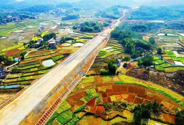
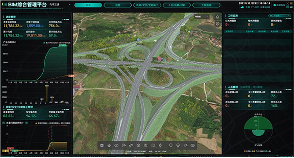
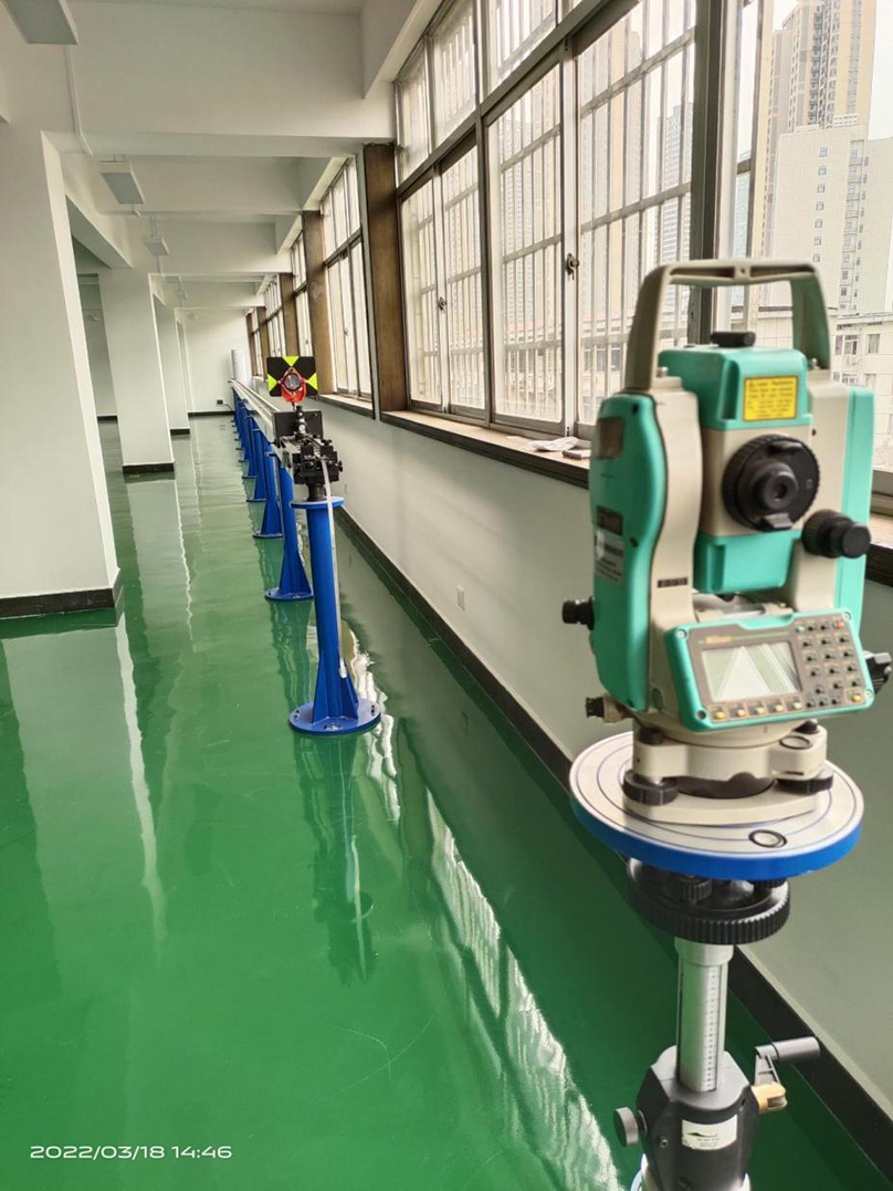
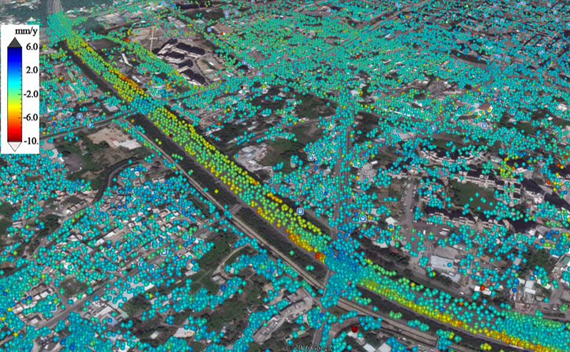
HNCDI is an institution that provides comprehensive technical services such as engineering surveying and mapping, spatial information and big data services, and engineering monitoring, with Class-A qualification for engineering inspection, surveying and mapping, and a national special metrology authorization certificate. It is also the vice chairman unit of the Hunan Provincial Society of Surveying and Mapping, the executive director unit of the Hunan Provincial Geographic Information Industry Association, the Hunan Provincial Science and Technology Achievement Testing and Appraisal Institution, the affiliated unit of the Instrument Professional Committee of the Hunan Provincial Society of Surveying and Mapping, a member unit of the Surveying and Mapping Instrument Professional Committee of the China Society of Surveying and Mapping, and the Hunan Provincial Science and Technology Achievement Testing and Appraisal Institution. HNCDI provides comprehensive services integrating engineering technology consulting, data collection, visual spatial analysis, product intelligence, and auxiliary decision-making. The professional scope of HNCDI covers air (satellite remote sensing), sky (aerial photogrammetry), land (engineering surveying and mapping), and sea (marine surveying and mapping). HNCDI utilizes intelligent sensing technologies such as satellite remote sensing, aerial photography, oblique photography, panoramic scanning, laser scanning, high-precision navigation and positioning, mobile digital surveying and mapping, as well as geographic information technology, spatial information visualization technology, and big data technology. We offer multi-source, multi-dimensional, multi-scale, and multi-temporal basic geospatial information data services and informatization services, providing indispensable technical support for the digitalization and intelligentization of infrastructure construction, operation maintenance, and management. The service areas of HNCDI include highway engineering, water transport engineering, municipal engineering (bridges, track maglev, utility tunnels, etc.), tunnel engineering, railway engineering, hydraulic engineering, architectural engineering, and marine engineering. HNCDI is capable of independently undertaking engineering control and topographic surveying and mapping, deformation monitoring, operation period monitoring, completion surveying, and other businesses. Additionally, HNCDI can provide technical support services for natural disaster surveys, geographic national condition monitoring, land and resources surveys, real estate ownership confirmation, digital cities, smart transportation, and smart waterway construction.